Right now, Wisconsin is in the news for mainly for the violence in Kenosha, and the possibilty of the President inflaming tensions with his scheduled visit.
I have never been to Wisconsin, so I know nothing about the state, or Kenosha, but what I've seen and heard in the meidia. (It's a Rust Belt city with widening gaps between rich and poor, black and white, etc.) If I were to visit the Badger State, I imagine that I would want to go to Kenosha because the events there will be an important part of this country's history. But, I'm sure there is more that I'd want to see.
One thing I'd want to do is cycle from Lake Michigan to the Mississippi River. Now it's possible to do just that on a cross-state bicycle route just approved by the American Association of State Highway and Transportation Officials.
Like other long bicycle routes (like the East Coast Greenway), the US Bicycle Route 30 was created by linking existing state and county bike trails, local roads and bike paths and state and county highways. In the middle of the state, there is a spur--US Bicycle Route 230--for use when the Merrimac Ferry, which crosses the Wisconsin River, is not available.
Creating good bicycle routes is a laborious feat. Is it any more difficult than getting the Cheeto In Chief to ride on them?
I have never been to Wisconsin, so I know nothing about the state, or Kenosha, but what I've seen and heard in the meidia. (It's a Rust Belt city with widening gaps between rich and poor, black and white, etc.) If I were to visit the Badger State, I imagine that I would want to go to Kenosha because the events there will be an important part of this country's history. But, I'm sure there is more that I'd want to see.
One thing I'd want to do is cycle from Lake Michigan to the Mississippi River. Now it's possible to do just that on a cross-state bicycle route just approved by the American Association of State Highway and Transportation Officials.
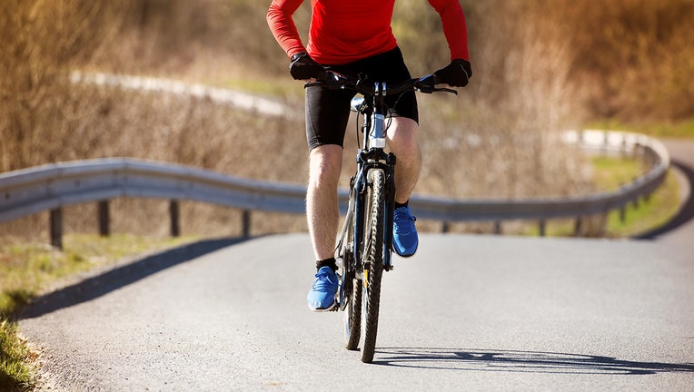 |
Like other long bicycle routes (like the East Coast Greenway), the US Bicycle Route 30 was created by linking existing state and county bike trails, local roads and bike paths and state and county highways. In the middle of the state, there is a spur--US Bicycle Route 230--for use when the Merrimac Ferry, which crosses the Wisconsin River, is not available.
Creating good bicycle routes is a laborious feat. Is it any more difficult than getting the Cheeto In Chief to ride on them?


